

Find a goal. Fly it. Relive it.
Sidekik gives you goals for your next flight, is with you in the air and turns your track into something worth sharing.
A reason to get out
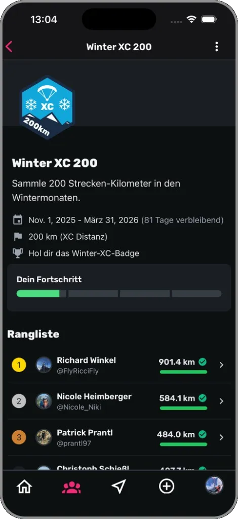
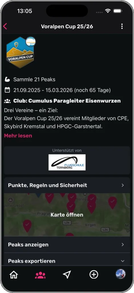
Collect summits, not kilometres
Join a Peak Hunt — with your club or open to everyone. Fly or hike through the circle around a summit and it counts for you; scoring is automatic. Missions give you a goal for a period, such as a number of flights or metres of altitude gain.
Not just a competition, but a reason to fly new routes with friends and clubmates.
How Peak Hunts work →Organising for your club? Start here →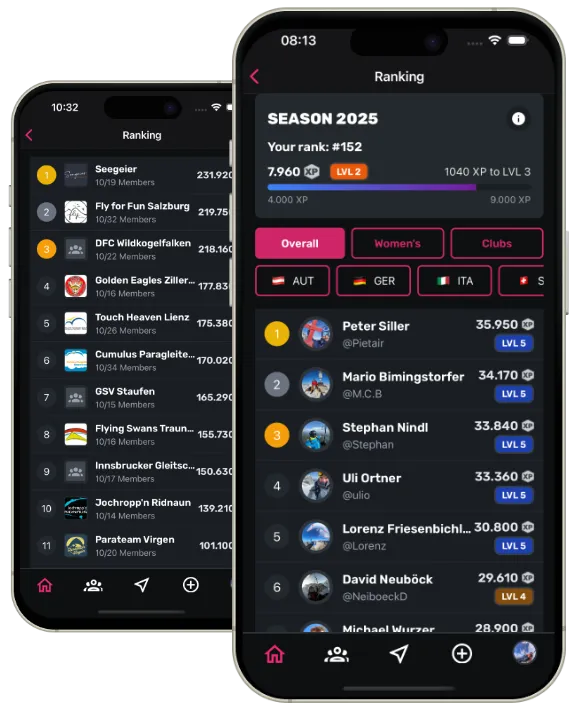
Climb the leaderboard
Every flight earns XP — not just for distance, but also for airtime and the duration of your Hike&Fly activity.
Level up. The top 10 of your club compete against other clubs.
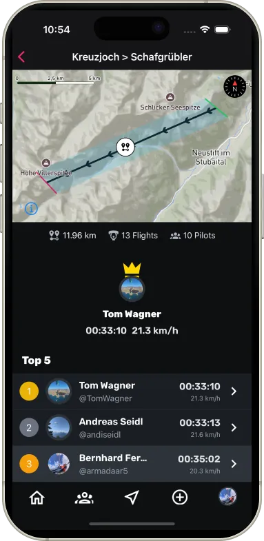
Take the crown
Full leaderboards with PLUS
Well-known routes become race sections: start, finish, best time. Compare your line with the crown — and get faster on each section.
Fly
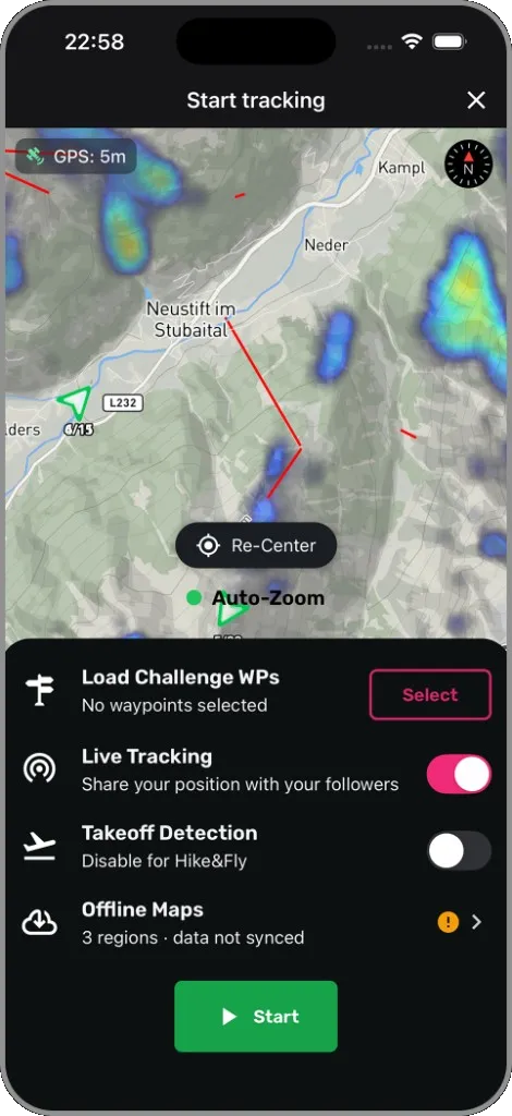
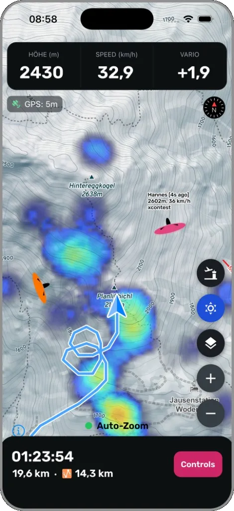
Everything in view while you fly
Free · offline maps and challenge navigation with PLUS
Hike&Fly track, airspace, obstacles and your next waypoint — clear, fast and without fiddly typing. Sidekik does not replace a flight instrument, but it records what matters.
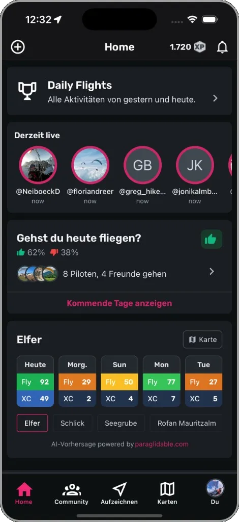
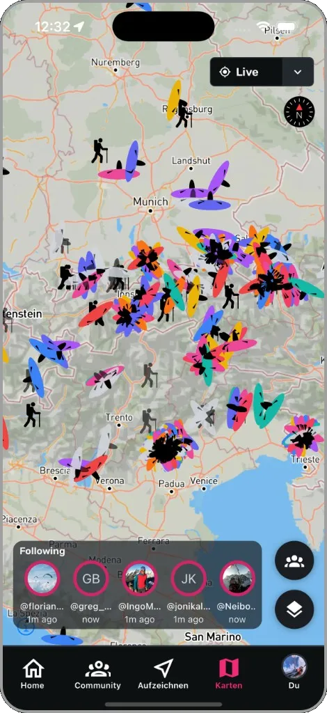
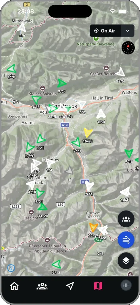
See who is in the air
Friends and clubmates live on the map — who is flying right now and where. And when you are tracking yourself, you see your mates right next to you.
Positions come from XContest Livetracking, the Open Glider Network (OGN) and Sidekik app tracking — all on one map.
Wind data where you need it
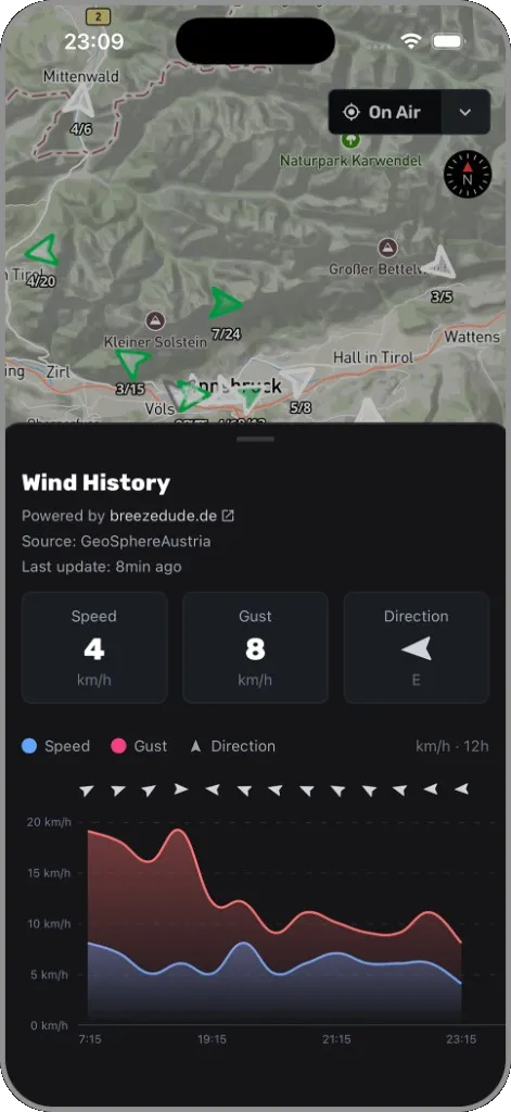
Good flying decisions need good wind data. Livewind stations sit right on the map — with direction, speed and gusts, at launch and while tracking.
BreezeDude.de adds thousands of stations in Germany, Switzerland and Italy. Less app switching, more overview.
Try it on your next flight
The app is free. Track with Sidekik directly or upload your IGC or GPX file.


Relive and share
Fly your flight again
Free for everyone
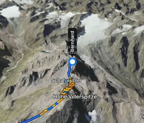
Sidekik turns your track into a flight through the real mountains. The camera follows your wing, the track shows in orange where you climbed, and the summits around you are labelled.
Turn the best moment into a short portrait video right in the app — for your club chat, WhatsApp or Instagram.
Every flight in one place
Free
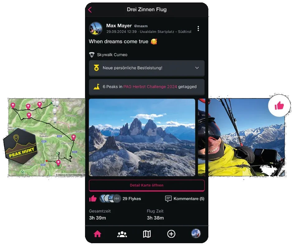
Upload tracks, import them from your watch or from XContest — and tell the story with photos. A logbook that lets others fly along.



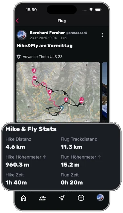
Hike & Fly analysis
Sidekik automatically detects which sections you covered on foot and which in the air, and shows them in different colours on the map.
Altitude gain, hiking time and flight data stay separate. So you know what you actually did.
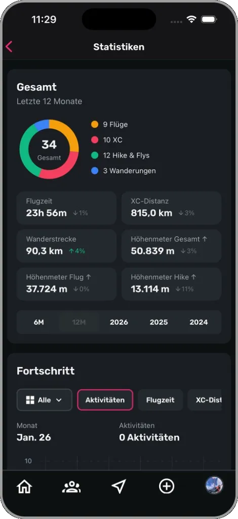
See yourself improve
Last 6 months free · all statistics and your own goals with PLUS
Personal charts, split by flight type, and goals for the week, the month or the year. Progress becomes visible — even when it was not a distance record.
Together
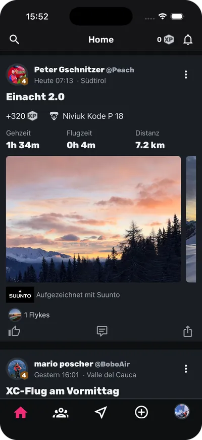
Do not fly alone
See what friends and clubmates are flying, celebrate their flights with a Flyke and pick up ideas for your next adventure.
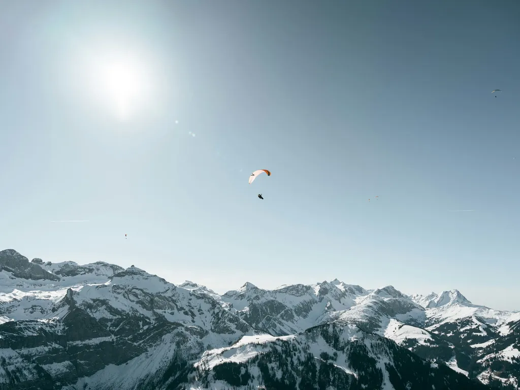
Your next goal is waiting
Download the free Sidekik app