
The map before you fly
Before you head up the mountain, it helps to know what’s going on in the air. Who is already flying? How strong is the wind at the stations nearby? Where are thermals likely, and which airspaces are around?
The Map tab answers these questions. This guide shows you its layers and buttons, and the weather forecast you can add to Home.
1. On Air and Discover
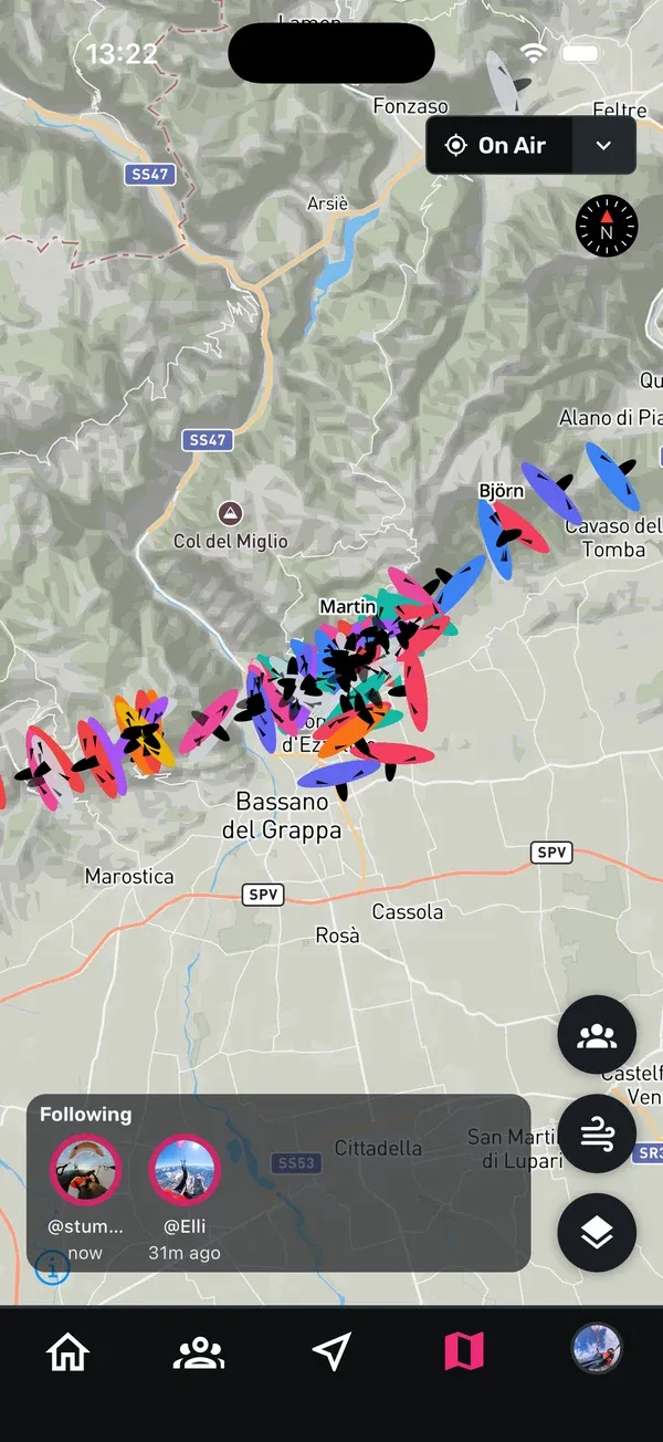
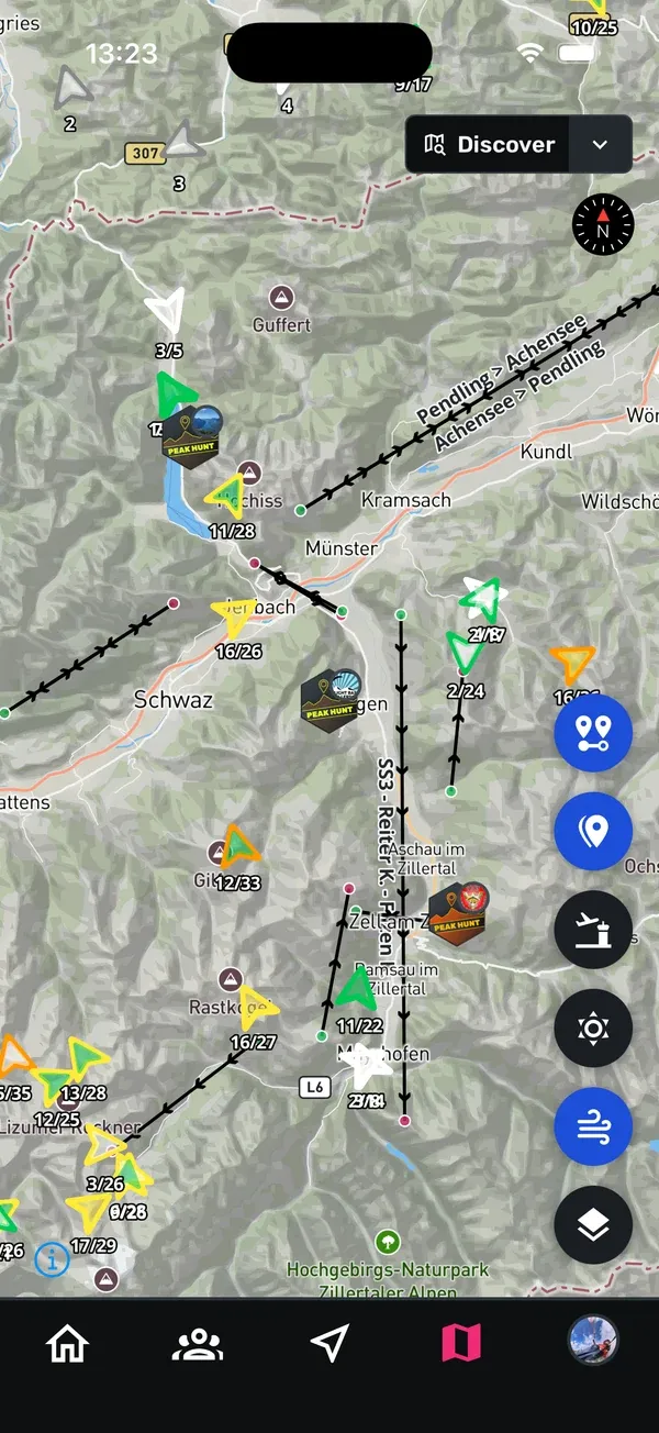
The map has two layers. Tap the layer button at the top right to open Select map layer and choose one:
- On Air: shows live pilots. This is the default.
- Discover: shows challenge and segment layers.
Sidekik remembers your choice for the next time.
2. Live pilots
On the On Air layer you see the pilots who are flying right now. Tap the pilots button to open Live pilots. Under Filter Livetracking Map you choose who is shown:
- All: every live pilot.
- All Users: only pilots with a Sidekik account.
- Following: only pilots you follow.
The number next to each filter shows how many pilots are in the air. Pilots from other live tracking sources who don’t have a name are summarised as anonymous pilots.
If you want to show up here yourself, turn on Live Tracking before your flight. See Tracking a flight.
3. Wind stations
Tap the wind button to show wind stations. It works on both layers and is off by default. Zoom in on your area to see the stations. Each one has an arrow for the wind direction, coloured by strength. Zoom in a little more to also see speed and gusts as numbers. The values refresh every 10 minutes.
Tap a station to open Wind History, powered by breezedude.de. There you see:
- the Source of the station and the Last update,
- the current Speed, Gust and Direction,
- a chart of the last 12 hours.
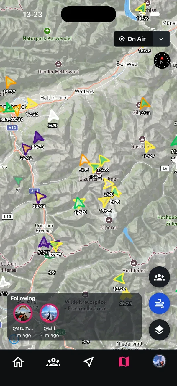
The 12-hour chart is useful to see whether the wind is picking up or calming down before you decide to go.
4. Thermal map and airspaces
Switch to Discover to get two more buttons:
- Thermal map: shows where thermals are likely. The map matches the season and the time of day, with different maps for the morning, midday and evening.
- Airspaces: shows the airspaces around you.
You find both buttons again on the map while you track a flight.
5. Challenges and segments
On the Discover layer you also see challenges and segments:
- The challenge button shows or hides the peaks of challenges on the map.
- Segments are drawn on the map, and you can tap one to open it. If several segments overlap, Sidekik lets you pick the one you mean. Switching the segment layer on and off with the Segments button needs Sidekik Plus.
More about segments in Segments.
3D terrain isn’t on the Map tab. You find it on the map of a flight, where the 3D terrain button shows the mountains in 3D. This needs Sidekik Plus.
6. Map style
Tap the map style button and choose a Map Style:
- Default
- Satellite
- Winter
The map style button is on both layers and also on the map while you track a flight.
7. The forecast on Home
Sidekik can show a flying forecast on Home, powered by Paraglidable. For each place you see a rating for Fly and XC, starting with today. If there are several places, you can switch between them. Tap Map to open the Paraglidable forecast map.
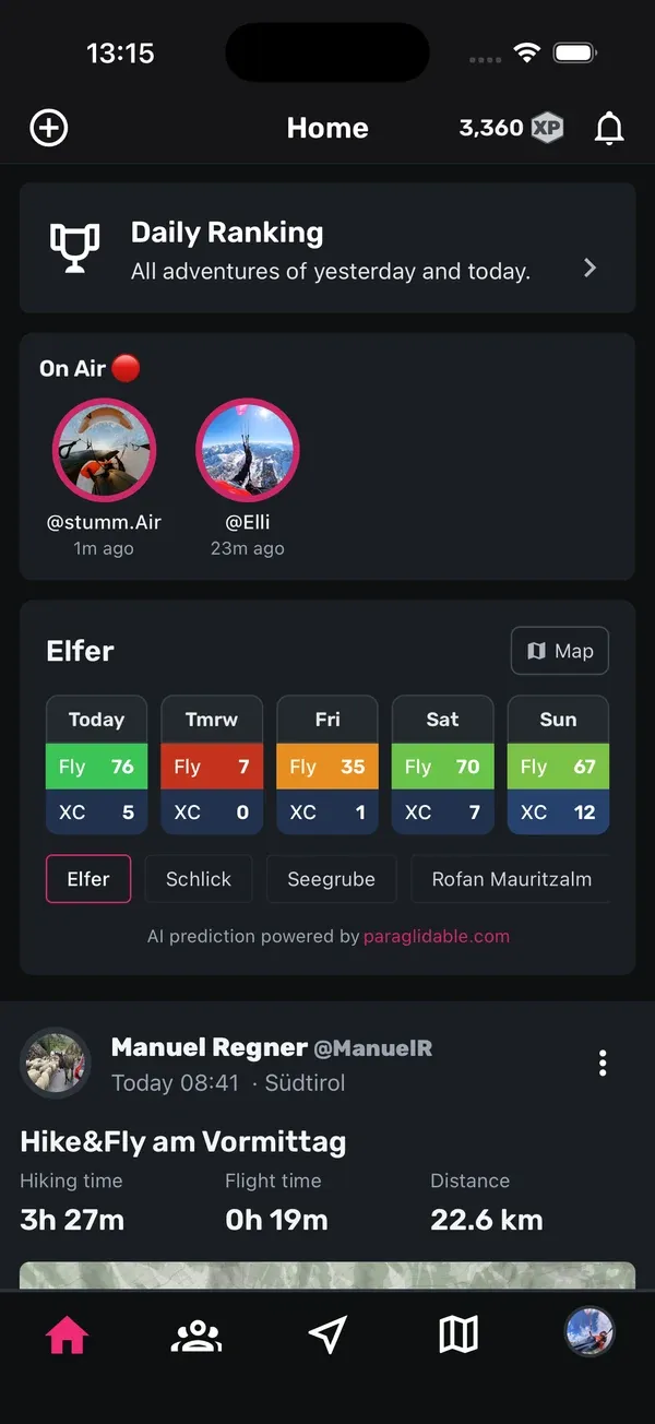
The forecast needs your own API key from paraglidable.com:
- Create an API key on paraglidable.com.
- In Sidekik, go to You, open Settings and tap Weather forecast.
- Enter your key under Paraglidable API Key and tap Save.
On the same screen, the switch Display weather forecast on your home feed shows or hides the forecast. If one of your clubs has its own Paraglidable key, Sidekik can use that one when you haven’t entered your own.
Tips
- Check the wind trend: open Wind History for a station near takeoff and look at the last 12 hours, not just the current value.
- Use Following: on busy days, the Following filter shows only your friends in the air.
- Look at the thermal map in the morning: it changes with the time of day, so check it again around midday.
- Try Satellite at a new site: aerial images help you spot landing fields and terrain.
Related guides
Still have questions? Write to us at [email protected].