
Tracking a flight
Sidekik can record your flight right on your phone. You get the most important numbers at a glance, you see thermals, airspaces and obstacles on the map, and you can navigate to Peak Hunt peaks or competition turnpoints.
You start everything from the Record tab, the big button in the middle of the tab bar. This guide walks you through a flight from launch to landing.
1. Before takeoff
Tap Record. The start screen shows a few settings and a big green Start button.
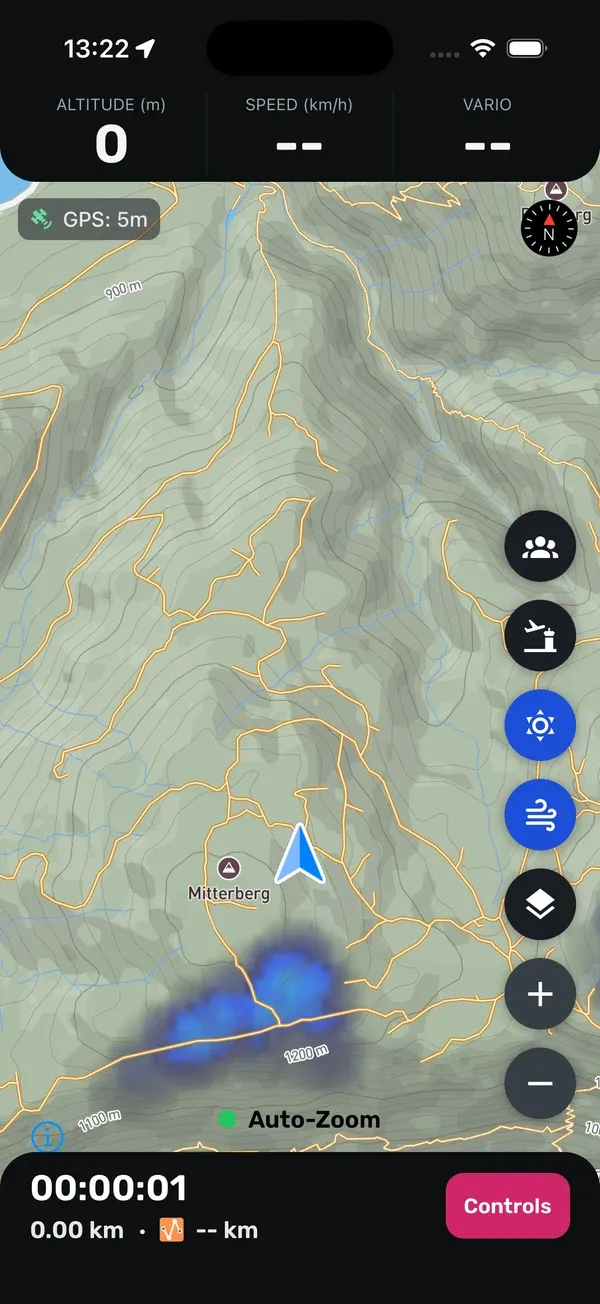
- Load Challenge WPs: tap Select to load the peaks of a Peak Hunt or one of your competition tasks for navigation. More on this in section 3.
- Live Tracking: when this is on, Sidekik shares your live position while you fly, so others can follow you on the map.
- Takeoff Detection: when this is on, you can tap Start at launch and put your phone away. Sidekik waits and only starts recording once you are actually flying.
- Offline Maps: shows whether you have map regions saved on your phone. See section 5.
The Start button stays grey and reads Waiting for GPS until your phone has a good GPS fix. Without an internet connection, this can take a few minutes.
Takeoff Detection and the threshold
Takeoff Detection is off by default. When you turn it on, you see the Current Threshold, which is 14 km/h by default. Tap the cog icon next to it to change it, then tap Save.
After you tap Start, the screen shows Waiting for takeoff… with your current Speed compared to the threshold. As soon as your GPS speed stays above the threshold, recording starts on its own. This also works with the phone in your pocket. The last 30 seconds before takeoff are kept, so your launch run is part of the track.
If you want to start right away, tap Start Now. To stop waiting, hold Cancel.
Good to know: Turn Takeoff Detection off for Hike&Fly. Otherwise the walk up would not be recorded, and a fast descent on foot could even trigger the start.
2. The screen in flight
At the top you see three numbers:
- ALTITUDE in metres.
- SPEED (km/h), your ground speed.
- VARIO. When you sink, it switches to GLIDE and shows your current glide ratio with a red arrow. When you climb, it switches to CLIMB and shows your climb rate in green.
At the bottom you see the flight time, the length of your track and your current XC distance in kilometres, with an icon for the type of XC flight.
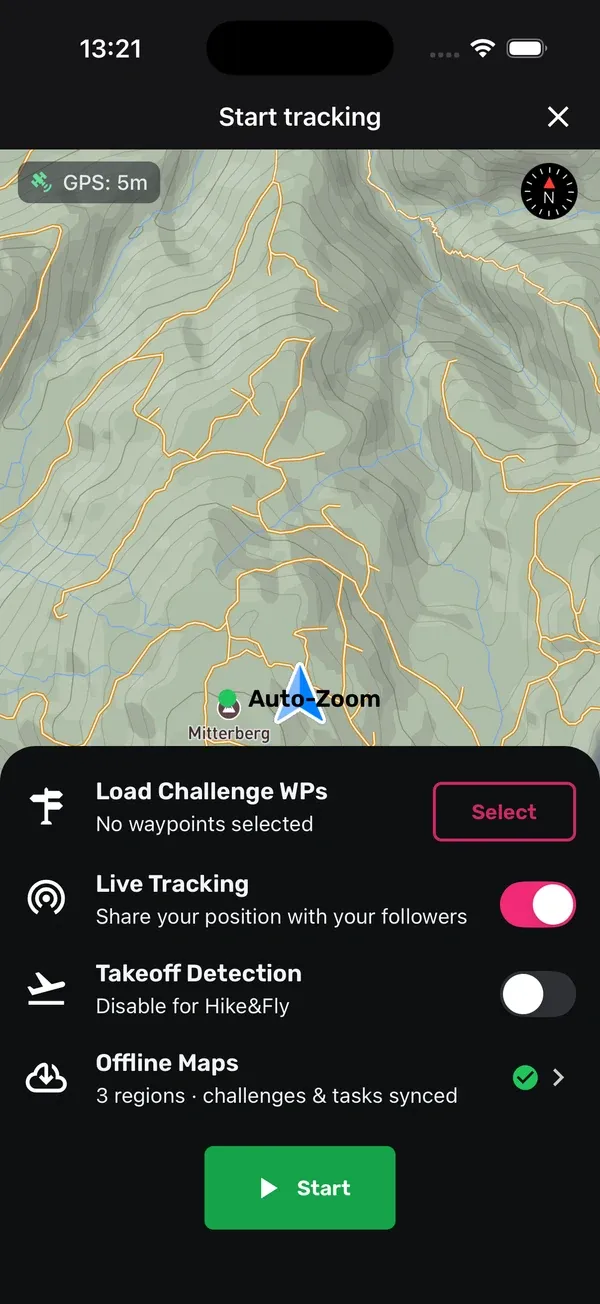
The map follows you automatically. With Auto-Zoom on (the switch with the green dot), it zooms in while you circle in a thermal and zooms out when you fly fast and straight. If you move or zoom the map yourself, it stops following for a moment and then returns to your position.
The buttons on the right side of the map let you:
- show live pilots around you,
- turn Airspaces on or off,
- turn the Thermal map on or off (it’s on when you start),
- show wind stations,
- change the Map Style,
- zoom in and out.
Power lines and cables are shown as red lines when you zoom in close enough, labelled with their maximum height above ground. You can tap them for details. They are always shown and are also available offline.
The screen stays on while you fly, and you can turn your phone to landscape. Sidekik warns you when your battery drops below 20, 15 and 10 %, and when the GPS signal is lost.
3. Navigating to peaks and tasks
With Load Challenge WPs you choose what you want to navigate to. You’ll find it on the start screen and later in the Controls in flight.
- Peak Hunt: tap Select challenge and pick a Peak Hunt. The peaks appear on the map. Tap a peak to see how far away you are and how close you’ve come so far. Adding challenges for navigation needs Sidekik Plus. More in Peak Hunts.
- My Tasks: here you see the competition tasks you have joined. Pick one, and the turnpoints and the course appear on the map. More in Competition tasks.
You can load either Peak Hunt peaks or a task, not both at the same time.
4. Pause, finish or discard
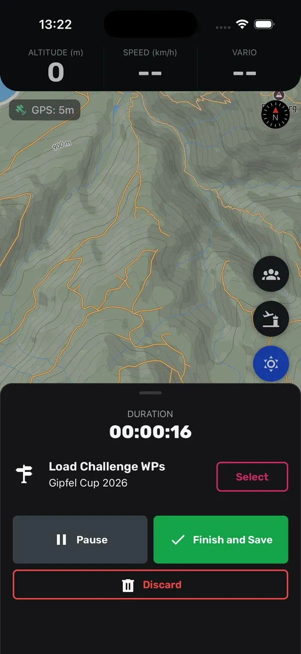
Tap the rose-coloured Controls button at the bottom. Here you have:
- Pause: stops recording for now. The screen shows a red PAUSED banner. Tap Resume to continue.
- Finish and Save: ends the flight. Sidekik asks once more, then saves the flight and uploads it in the background.
- Discard: deletes the recording. Use this only if you really don’t want to keep the flight.
While a flight is running, you can’t leave the tracking screen by accident. You first need to finish or discard the flight.
If the app is closed during a flight, for example because your phone restarted, Sidekik notices the next time you open it. You can then resume, save or discard the unfinished flight.
5. Offline maps
In the mountains you often have no signal. To still see the map, save the region beforehand, while you still have internet.
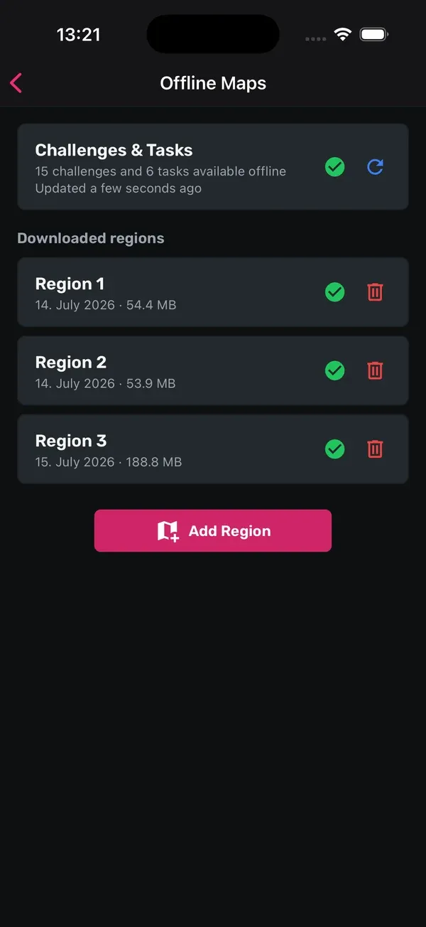
- On the start screen, tap Offline Maps.
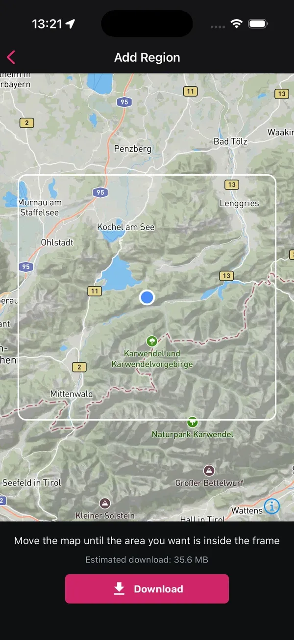
- Tap Add Region.
- Move the map until your flying area is inside the frame. Sidekik shows the estimated download size. If the area is too large, zoom in.
- Tap Download, give the region a name and confirm.
The region includes the map and the thermal map. Choosing the area is free; the download itself needs Sidekik Plus. You’ll get a warning if you’re on mobile data.
Sidekik can also keep your Peak Hunts and tasks on the phone, so navigation works offline too. That includes the challenges you’ve joined, active challenges inside your regions, and your tasks. Offline sync of challenges and tasks needs Sidekik Plus.
6. Flying without a connection
You don’t need internet to record a flight. If there’s no connection when you finish, the flight is saved on your phone and uploaded automatically as soon as you’re back online.
On Home you’ll then see a card saying that a flight is still being synchronised. Tap it to open Offline Flights. There you can retry an upload, delete a flight or tap Download GPX to save the track as a file.
7. Phone settings
When you track for the first time, Sidekik asks for access to your location. Allow it, ideally with Always, so recording continues when the screen is off or another app is open. While you fly, a notification shows that Sidekik is recording your flight.
Tips
- Start early: open the Record tab a few minutes before launch, so the phone has a good GPS fix when you’re ready.
- Save offline regions at home: download your flying areas on Wi-Fi, before you’re on the mountain.
- Hike&Fly: turn off Takeoff Detection, so the walk up is part of your track.
- Check the battery: tracking uses GPS the whole time. Start with a full battery on long days.
- Use landscape: in landscape mode, the map is wider and easier to read on a cockpit mount.
Related guides
Still have questions? Write to us at [email protected].